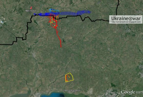
Russia's invasion of Ukraine that began yesterday was captured by Google Maps. Spotted by Jeffrey Lewis, an open-source intelligence expert at 3:15 AM local time, the traffic jam at Belgorod in Russia gave it away. The expert, who's also a professor at Middlebury Institute Tweeted - "someone's on the move" when he spotted a build up of traffic near Ukraine's border with Russia.
In conversation with Vice, Lewis said that they "were the first people to see the invasion" and that too on a traffic app. While Russian President Vladimir Putin announced the "special military operation" in Donbas, a region in Eastern Ukraine, the traffic jam was seen from an entirely different region.
The jam extended to the border, after which it disappeared. However, it wasn't as simple as simply logging onto Google Maps. Instead, Lewis used optical and radar satellite imagery taken days before. For instance, an image taken by Capella Space on Tuesday showed Russian build up at the border.
Google Maps' live traffic data comes from location and speed information sourced from Android phones. No, this doesn't mean that the soldiers left their smartphones on, but implies that civilians were stuck in jams because of Russia's military build up.
"I think big data companies often don’t want to face squarely how useful their data can be," Lewis told Vice. What do you think about Russia's unprovoked invasion on Ukraine? Let us know in the comments below.
(With inputs from agencies)