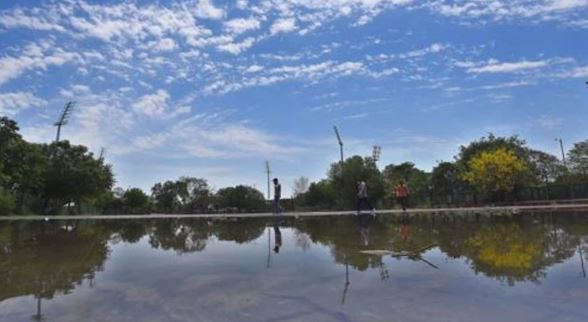
The monsoon withdrew from most parts of the country on Thursday, largely sticking to its usual schedule despite a late start to the withdrawal.
It now covers only a small portion of Odisha, some parts of northeast India, and southern Maharashtra. The normal date for its withdrawal from the entire country is October 15.
The monsoon started withdrawing very late this year, on October 6 against the normal date of September 17, but then withdrew rapidly from different parts of the country, according to scientists.
“We can say the monsoon’s withdrawal is complete when the withdrawal line reaches 15 degree latitude. We are close to that line. Very small portions of Goa, Maharashtra and the North-East are left. Two low pressure areas have developed over Arabian Sea and Bay of Bengal which will bring rain to parts of central and east India but that cannot be categorised as monsoon rain,” said K Sathi Devi, head, national weather forecasting centre.
With the withdrawal of the monsoon, the northern plains get ready for the onset of winter, although, in recent years, this has also meant an increase in air pollution.
The monsoon will completely withdraw by Friday, an expert said, but rains could continue over some parts of the country. “The monsoon is expected to completely withdraw during the next 24 hours. But due to the interaction of a western disturbance lying over north Pakistan and a low pressure area near Odisha coast which will travel inwards, scattered rain is expected over Uttar Pradesh and Delhi NCR and heavy rain over Himachal Pradesh and Uttarakhand between Saturday to Monday,” explained Mahesh Palawat, vice president (climate change and meteorology), Skymet Weather.
And when the rain stops, he added, minimum temperatures are likely to drop over northwest India even as the northeast monsoon sets in over peninsular India. “We can expect pollution levels to increase over northwest India when wind direction changes to northwesterly once again October 18 onwards,” Palawat added.
(With inputs from agencies)