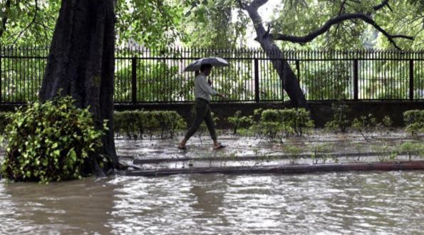
Widespread rain is likely in Uttarakhand and eastern Uttar Pradesh till Sunday, according to India Meteorological Department (IMD) as the monsoon is likely to intensify again as a low-pressure area is likely to form over the northeast and the east-central Bay of Bengal on Friday.
The monsoon trough is lying to the south of its normal position and is likely to remain so during the next five days. A cyclonic circulation is lying over north Chhattisgarh and neighbourhood. It is likely to move west-north-westwards across north Madhya Pradesh during the next three days.
Another cyclonic circulation is lying over West Rajasthan and neighbourhood. Due to these meteorological factors, scattered to widespread and heavy rainfall is likely in Uttarakhand till Sunday and in East Uttar Pradesh till Friday. The rainfall is likely to decrease in Gangetic West Bengal and Odisha. Widespread rainfall with isolated heavy rain is likely in East Rajasthan and Gujarat till Sunday. Widespread and heavy rain is likely in Madhya Pradesh, Vidarbha and Chhattisgarh till Thursday.
A cyclonic circulation is lying over the Myanmar coast and adjoining the Gulf of Martaban. It is likely to move north-westwards and emerge into Northeast and adjoining east-central Bay of Bengal. Under its influence, a low-pressure area is likely to form over the region on Friday.
The low-pressure area is likely to move west-north-westwards towards the Odisha coast during the subsequent 48 hours. Under its influence, a fresh spell of heavy rainfall is likely in Odisha and adjoining areas from Saturday.
(With inputs from agencies)